Beyond the Boundary: Unlocking NASA's 120-Petabyte Vault for NSW Property Stakeholders
For decades, NASA has amassed an extraordinary collection of Earth observation data—now exceeding 120 petabytes and growing by approximately 6.4 terabytes every single day. To contextualise this scale, one petabyte equals roughly 500 billion pages of printed text. This vast repository captures everything from land surface temperatures and soil moisture levels to vegetation canopy heights and dynamic water extent mapping.
The challenge? Until recently, accessing this goldmine required either wrestling with complex web interfaces or possessing programming knowledge to interact directly with NASA's Earthdata archive. For NSW councils conducting planning assessments, developers performing site due diligence, or asset owners monitoring their portfolios, this technical barrier rendered the data effectively inaccessible.
That barrier has now fallen. A specialised QGIS plugin transforms this massive archive from an intimidating warehouse requiring expert navigation into what can only be described as a digital vending machine: point to your NSW area of interest, select your data requirement, and have it delivered directly to your screen—no coding required.
What This Means for NSW Planning and Development
The real power of NASA's Earth observation archive lies not in its size, but in the decisions it can inform. Here are four applications that remain significantly underutilised across NSW local government areas and the property sector.
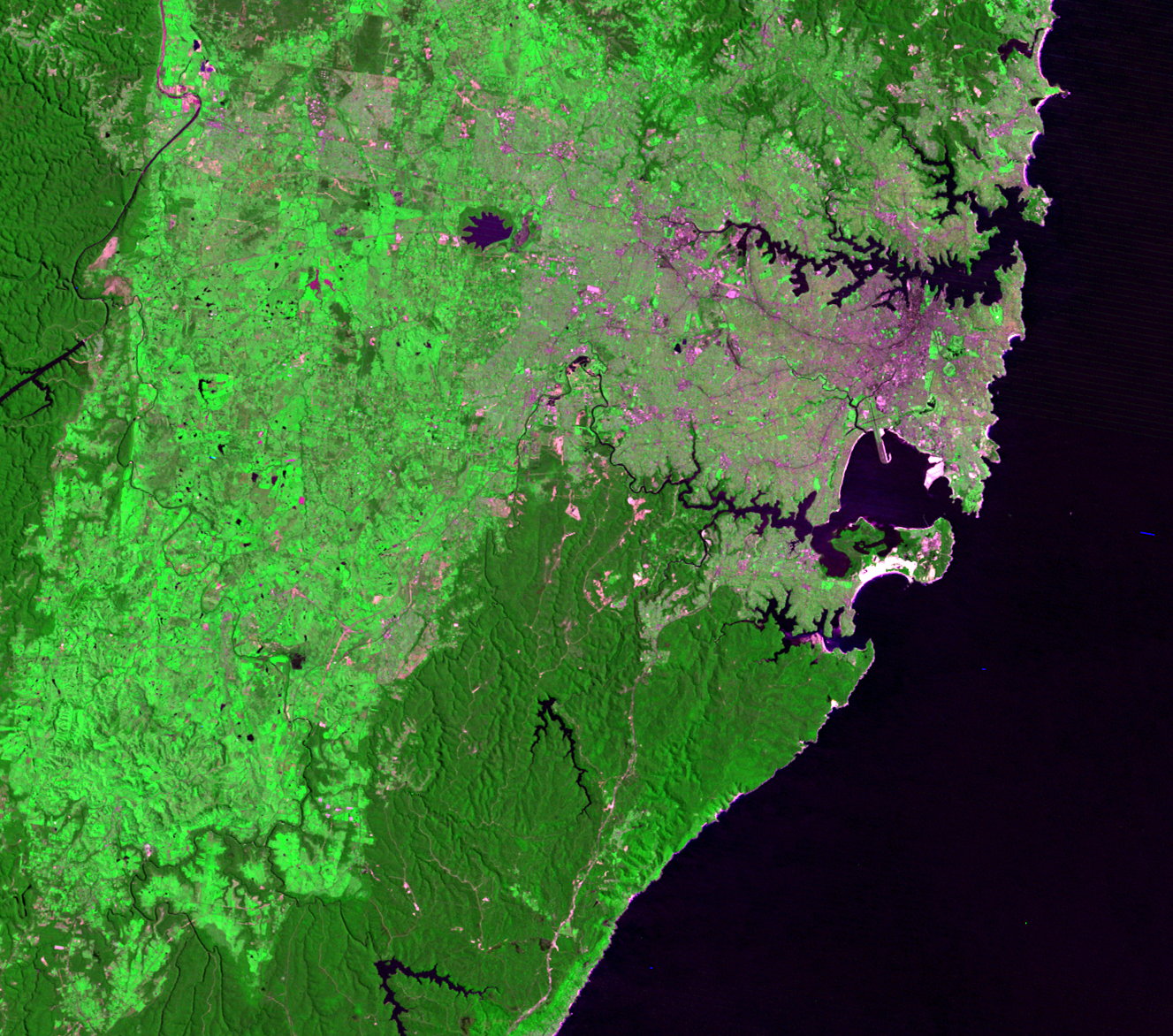
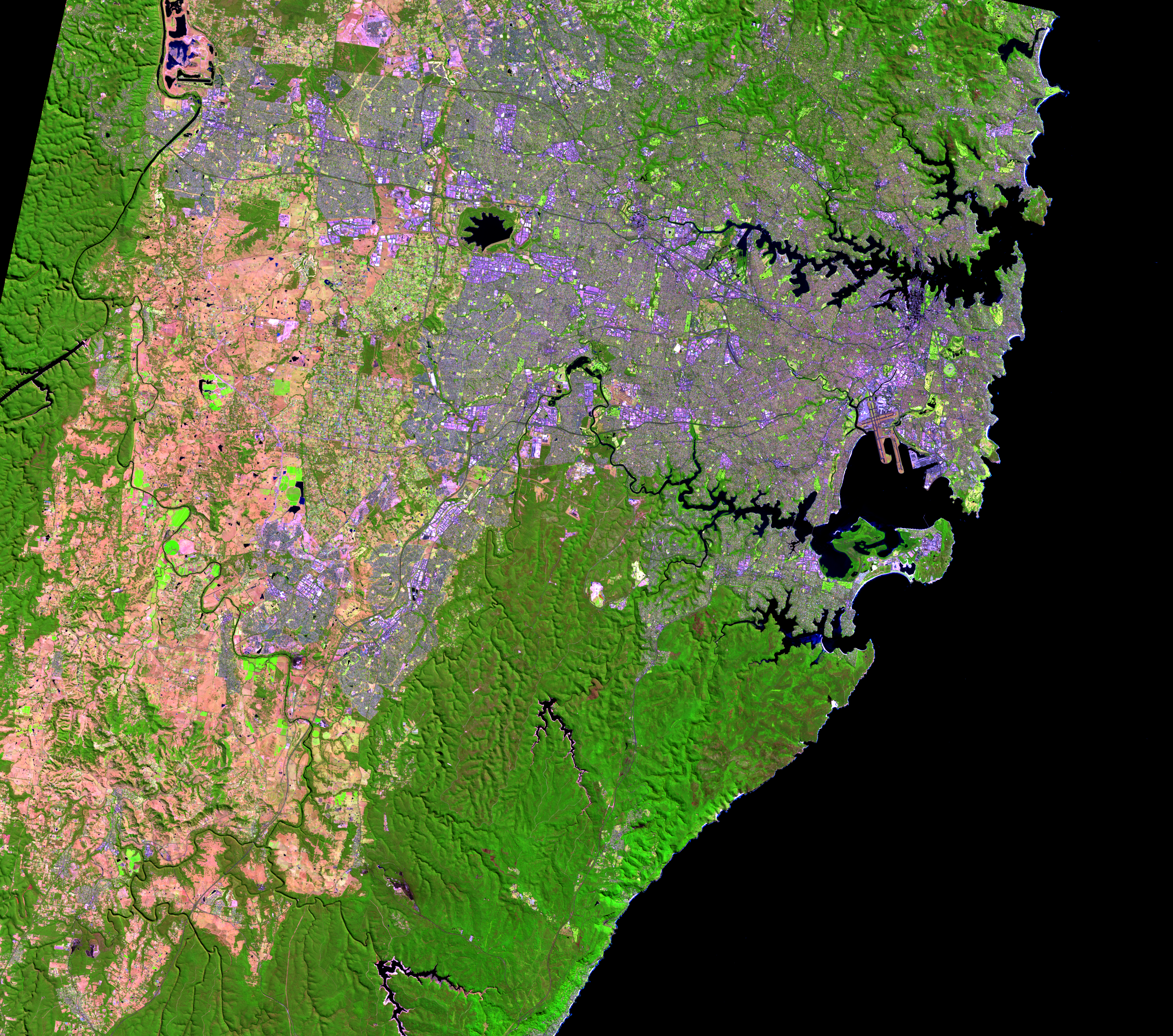
Urban Heat Island Intelligence for Western Sydney
Western Sydney corridors like Parramatta, Penrith, and Blacktown face intensifying urban heat challenges that directly impact development outcomes, infrastructure planning, and community health. The MODIS and VIIRS Land Surface Temperature products provide granular thermal mapping that goes far beyond Bureau of Meteorology station data or general climate projections.
Council planning teams can use VIIRS daily land surface temperature data to map specific heat hotspots across their LGA—identifying precincts where development controls might require additional cooling infrastructure, strategic vegetation, or reflective materials. The historical record extends back to 2002, enabling analysis of temperature trends over two decades to inform long-term strategic planning and climate adaptation frameworks.
For developers, this same data supports design of climate-smart developments. Rather than applying generic heat mitigation measures, site-specific thermal analysis enables targeted interventions—strategic roofing materials here, vegetation placement there—reducing cooling costs and strengthening ESG credentials for institutional investors increasingly focused on climate resilience.
Research demonstrates that integrating NASA thermal data with socio-demographic information creates heat vulnerability indices valuable for both Section 7.11 contribution planning and council policy formulation around vulnerable populations.
Dynamic Flood and Drainage Analysis
Council flood maps remain essential compliance documents, but they often lack the near-real-time updates required for rapidly changing NSW landscapes. The NASA OPERA (Observational Products for End-Users from Remote Sensing Analysis) project provides analysis-ready products tracking Dynamic Surface Water Extent—essentially, where water actually goes when it rains, updated continuously.
This represents a significant advancement for development assessment on semi-rural or fringe properties where "hidden" drainage patterns may not appear on official flood mapping. Seasonal water accumulation invisible to standard assessments can signal future foundation instability, stormwater management challenges, or insurance premium increases that affect project feasibility.
For councils updating flood studies or assessing DA submissions in growth areas, OPERA data captures contemporary landscape changes—new impervious surfaces, altered drainage paths, vegetation clearing—rather than relying solely on historical records that may no longer reflect current conditions.
Precision Bushfire Risk Assessment
NSW's fire-prone landscape makes bushfire risk a primary concern for planning controls, insurance assessment, and property value. The GEDI (Global Ecosystem Dynamics Investigation) mission provides high-resolution data on canopy top height and vertical vegetation profiles that standard satellite imagery simply cannot capture.
This enables assessment of actual fuel load and biomass density surrounding properties and precincts with precision impossible from aerial photography or broad vegetation classifications. Planning teams can evaluate fire-break effectiveness with quantitative data rather than visual estimation. Asset Protection Zone requirements under Planning for Bush Fire Protection can be assessed against measured canopy structure rather than assumed vegetation types.
For strategic planning, this data supports more nuanced bushfire-prone land mapping that reflects actual risk profiles rather than broad categorical designations that may either over-restrict development potential or under-estimate genuine hazard.
Soil Subsidence Early Warning
For infrastructure planning and residential development, soil moisture dynamics are critical for preventing structural subsidence—a growing concern across NSW clay soils, particularly in Western Sydney growth areas. The SMAP (Soil Moisture Active Passive) satellite provides daily soil moisture retrievals across the entire state.
Monitoring long-term soil moisture trends identifies areas prone to significant soil contraction or expansion cycles. This provides an early warning system for potential foundation issues, enabling geotechnical requirements to be specified before problems emerge rather than after costly remediation becomes necessary.
For councils, this data supports infrastructure asset management—identifying road segments, stormwater systems, or community facilities at elevated subsidence risk. For developers, it informs site preparation requirements and foundation design specifications that reduce long-term maintenance liability.
A Paradigm Shift in Planning Intelligence
NASA's commitment to open data means this 120-petabyte archive is freely available to any user for any purpose. The Earth Science Data Systems Program reports the archive is projected to grow to nearly 600 petabytes by 2030 as new missions come online.
For NSW councils developing climate adaptation strategies, planners assessing complex development applications, developers conducting site feasibility studies, and asset owners protecting their investments, this represents a democratisation of intelligence previously available only to well-resourced organisations with dedicated remote sensing capability.
The warehouse has become a vending machine. The question is no longer whether you can access NASA's Earth observation data, but how you'll integrate it into your planning and investment decisions.
Technical Appendix: Setting Up Your Access
For GIS teams ready to implement this capability, the following outlines the technical pathway.
Environment and Installation
The NASA Earthdata plugin is available through the official QGIS plugin repository. To avoid dependency conflicts with the required earthaccess Python package, the recommended approach is a fresh QGIS installation managed through pipsy or pixi, creating an isolated environment where NASA's Python packages coexist with standard GIS dependencies.
Search for and install the "NASA Earthdata" plugin from the QGIS plugin repository. Check for updates within the plugin menu to ensure you're running the latest version—earlier releases contained bugs that have since been resolved.
Authentication
Register for a free NASA Earthdata account at urs.earthdata.nasa.gov and verify your email. Enter credentials into the plugin's settings panel. The system automatically creates a .netrc file storing credentials securely for future sessions.
Search Workflow
The plugin supports keyword search (e.g., "HLS" for Harmonized Landsat Sentinel, "MODIS" for thermal data, "GEDI" for canopy structure), spatial filtering via "use map extent" to constrain searches to your current view, temporal filters for precise date ranges, and advanced options including cloud cover thresholds.
Cloud Optimised GeoTIFF (COG) support enables streaming data directly into your map canvas—inspect specific bands and evaluate quality before committing to downloads. For non-COG data, the plugin supports direct and batch downloading to local storage.
Key Datasets for NSW Applications
| Application | Primary Dataset | Temporal Coverage |
|---|---|---|
| Urban heat | MODIS/VIIRS LST (MYD21, VNP21) | 2002–present |
| Flood dynamics | NASA OPERA DSWX | Near real-time |
| Bushfire fuel load | GEDI canopy height | 2019–present |
| Soil moisture | SMAP L3/L4 | 2015–present |
Sources: NASA Earthdata, Land Processes Distributed Active Archive Center, QGIS Plugin Repository, Remote Sensing journal publications on urban heat vulnerability mapping.